College Park East, Belfast
Introduction
The photograph on this page of College Park East, Belfast by Albert Bridge as part of the Geograph project.
The Geograph project started in 2005 with the aim of publishing, organising and preserving representative images for every square kilometre of Great Britain, Ireland and the Isle of Man.

There are currently over 7.5m images from over 14,400 individuals and you can help contribute to the project by visiting https://www.geograph.org.uk
College Park East, Belfast
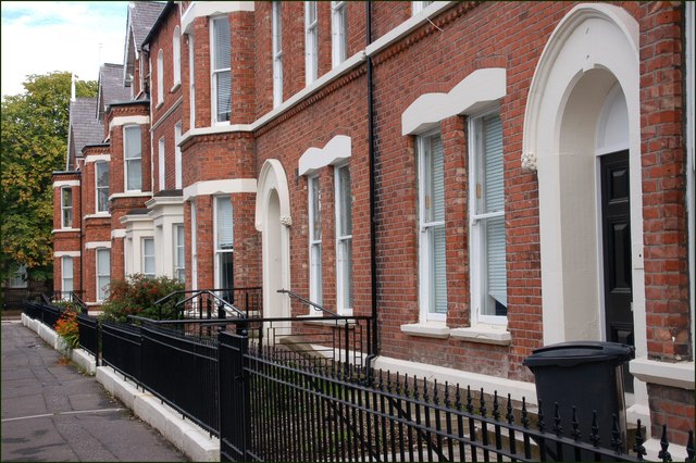
Image: © Albert Bridge Taken: 12 Aug 2007
College Park East is a terrace of large Victorian houses close to the Botanic Gardens Image and the rear of Queen’s University Image The Union Theological College Image is just out of sight behind the trees on the left.
Images are licensed for reuse under creativecommons.org/licenses/by-sa/2.0
Image Location
Latitude
54.584669
Longitude
-5.931024