Tricks Allotments and some of Bideford Town
Introduction
The photograph on this page of Tricks Allotments and some of Bideford Town by Roger A Smith as part of the Geograph project.
The Geograph project started in 2005 with the aim of publishing, organising and preserving representative images for every square kilometre of Great Britain, Ireland and the Isle of Man.

There are currently over 7.5m images from over 14,400 individuals and you can help contribute to the project by visiting https://www.geograph.org.uk
Tricks Allotments and some of Bideford Town
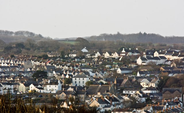
Image: © Roger A Smith Taken: 26 Dec 2016
Tricks allotments is in the centre of the image. Below this is the Methodist Church on the High Street. To the left of the allotments are houses on Clovelly Road.
Images are licensed for reuse under creativecommons.org/licenses/by-sa/2.0
Image Location
Latitude
51.013864
Longitude
-4.215365