Former Wesleyan School on West Lane, Thornton
Introduction
The photograph on this page of Former Wesleyan School on West Lane, Thornton by Chris Heaton as part of the Geograph project.
The Geograph project started in 2005 with the aim of publishing, organising and preserving representative images for every square kilometre of Great Britain, Ireland and the Isle of Man.

There are currently over 7.5m images from over 14,400 individuals and you can help contribute to the project by visiting https://www.geograph.org.uk
Former Wesleyan School on West Lane, Thornton
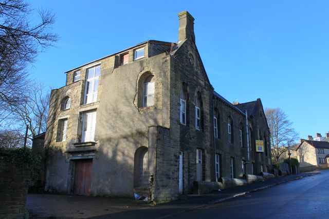
Image: © Chris Heaton Taken: 22 Dec 2016
Now appears to be empty - the building is passed by the Bronte Way long distance footpath
Images are licensed for reuse under creativecommons.org/licenses/by-sa/2.0
Image Location
Latitude
53.793045
Longitude
-1.855298