Viaduct Walk
Introduction
The photograph on this page of Viaduct Walk by Guy Wareham as part of the Geograph project.
The Geograph project started in 2005 with the aim of publishing, organising and preserving representative images for every square kilometre of Great Britain, Ireland and the Isle of Man.

There are currently over 7.5m images from over 14,400 individuals and you can help contribute to the project by visiting https://www.geograph.org.uk
Viaduct Walk
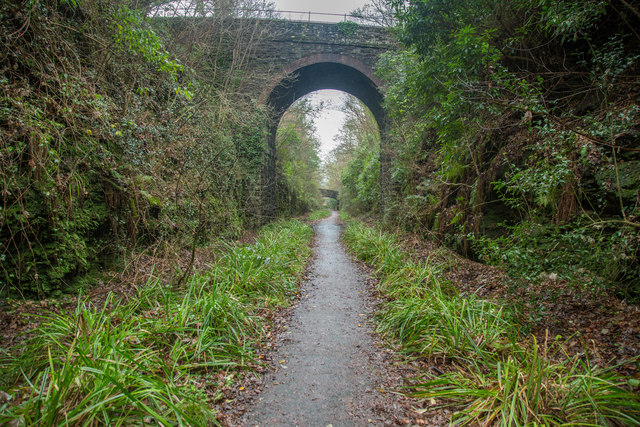
Image: © Guy Wareham Taken: 25 Dec 2016
A shared use path along the dismantled LSWR line from Tavistock North to Plymouth.
Images are licensed for reuse under creativecommons.org/licenses/by-sa/2.0
Image Location
Latitude
50.549364
Longitude
-4.15208