Bridge Street bus stops and shelter, Abercarn
Introduction
The photograph on this page of Bridge Street bus stops and shelter, Abercarn by Jaggery as part of the Geograph project.
The Geograph project started in 2005 with the aim of publishing, organising and preserving representative images for every square kilometre of Great Britain, Ireland and the Isle of Man.

There are currently over 7.5m images from over 14,400 individuals and you can help contribute to the project by visiting https://www.geograph.org.uk
Bridge Street bus stops and shelter, Abercarn
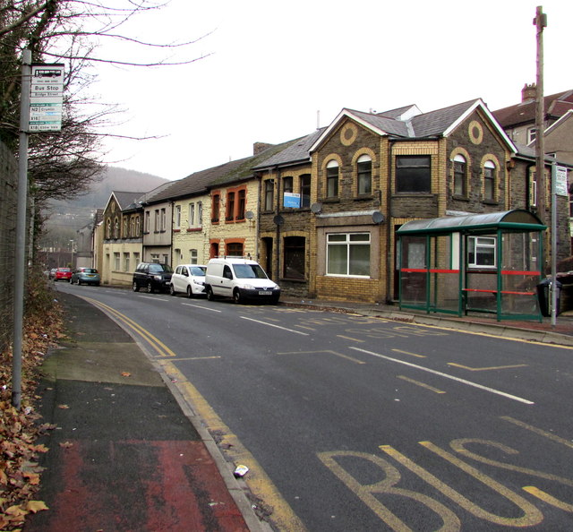
Image: © Jaggery Taken: 20 Dec 2016
In December 2016, the bus stop sign on the left shows N2 to Crumlin, X16 to Abertillery, X18 to Ebbw Vale.
Images are licensed for reuse under creativecommons.org/licenses/by-sa/2.0
Image Location
Latitude
51.647568
Longitude
-3.136544