Stream at Brae
Introduction
The photograph on this page of Stream at Brae by Mat Tuck as part of the Geograph project.
The Geograph project started in 2005 with the aim of publishing, organising and preserving representative images for every square kilometre of Great Britain, Ireland and the Isle of Man.

There are currently over 7.5m images from over 14,400 individuals and you can help contribute to the project by visiting https://www.geograph.org.uk
Stream at Brae
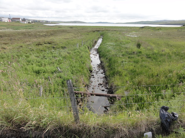
Image: © Mat Tuck Taken: 3 Jul 2016
The small stream leading out sea at Brae. This is the probable location of an Ordnance Survey OSBM bolt, described as NBM OSBM BOLT C CONCRETE CUL 5.3M S SIDE RD 3.0M SW FENCE ANG (3.059m above Lerwick datum, 2nd order, new 1979). The road and pavement have been redeveloped so possibly destroyed.
Images are licensed for reuse under creativecommons.org/licenses/by-sa/2.0
Image Location
Latitude
60.396139
Longitude
-1.35385