Old Shoreham Road, Hove
Introduction
The photograph on this page of Old Shoreham Road, Hove by Simon Carey as part of the Geograph project.
The Geograph project started in 2005 with the aim of publishing, organising and preserving representative images for every square kilometre of Great Britain, Ireland and the Isle of Man.

There are currently over 7.5m images from over 14,400 individuals and you can help contribute to the project by visiting https://www.geograph.org.uk
Old Shoreham Road, Hove
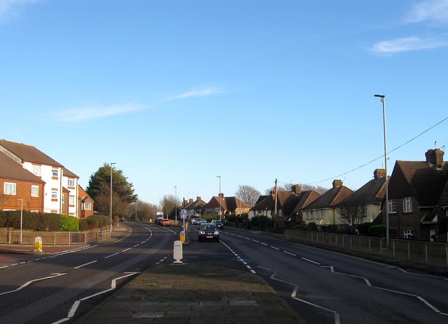
Image: © Simon Carey Taken: 22 Dec 2016
The former A27 until the completion of the Brighton Bypass in 1991 it is now the A270. Between Hove Cemetery in the east and the junctions with Boundary Road/Carlton Terrace and Hangleton Road in the west the road provides the dividing line between the Knoll Estate to the north and Hallyburton Estate to the south, both developed from the 1920s onwards having once been part of the parish of Aldrington. The road was made a dual carriageway in the mid 1970s necessitating demolition of houses on the northern side of the road and curtailment of gardens on the southern side.
Images are licensed for reuse under creativecommons.org/licenses/by-sa/2.0
Image Location
Latitude
50.838165
Longitude
-0.19787