Stapley Court, Stapley Road, Knoll Estate, Hove
Introduction
The photograph on this page of Stapley Court, Stapley Road, Knoll Estate, Hove by Simon Carey as part of the Geograph project.
The Geograph project started in 2005 with the aim of publishing, organising and preserving representative images for every square kilometre of Great Britain, Ireland and the Isle of Man.

There are currently over 7.5m images from over 14,400 individuals and you can help contribute to the project by visiting https://www.geograph.org.uk
Stapley Court, Stapley Road, Knoll Estate, Hove
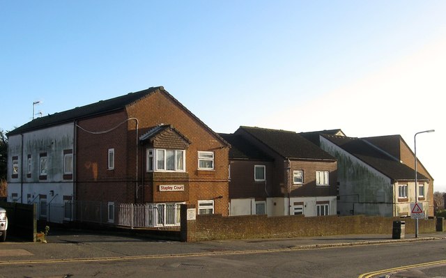
Image: © Simon Carey Taken: 22 Dec 2016
The block of flats are located on the eastern side of the road adjacent to the junction Old Shoreham Road, the A270. Originally the site of numbers 1-9 Stapley Road which appear to have been demolished along with houses on Old Shoreham Road when the road was widenedned in the mid 1970s. Flats look like they were built in the 1980s. The Knoll Estate is located in the former northern portion of the parish of Aldrington which was once three open fields called The Knowle East, The Knowle West and The Knowle North according to its 1840 tithe map. The area was developed by Hove council from 1926 and mostly completed by 1939, the remaining undeveloped part at the northern end of Stapley Road was finished in the late 1940s.
Images are licensed for reuse under creativecommons.org/licenses/by-sa/2.0
Image Location
Latitude
50.838362
Longitude
-0.198999