River Swale downstream
Introduction
The photograph on this page of River Swale downstream by Trevor Littlewood as part of the Geograph project.
The Geograph project started in 2005 with the aim of publishing, organising and preserving representative images for every square kilometre of Great Britain, Ireland and the Isle of Man.

There are currently over 7.5m images from over 14,400 individuals and you can help contribute to the project by visiting https://www.geograph.org.uk
River Swale downstream
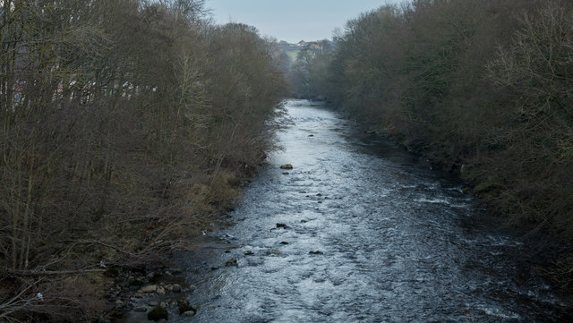
Image: © Trevor Littlewood Taken: 20 Dec 2016
The River Swale heading towards Richmond as seen from a footbridge north-west of a minor hill, Round Howe.
Images are licensed for reuse under creativecommons.org/licenses/by-sa/2.0
Image Location
Latitude
54.40287
Longitude
-1.757194