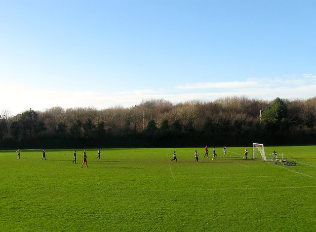
Benfield Valley Recreation Ground, Hove
Introduction
The photograph on this page of Benfield Valley Recreation Ground, Hove by Simon Carey as part of the Geograph project.
The Geograph project started in 2005 with the aim of publishing, organising and preserving representative images for every square kilometre of Great Britain, Ireland and the Isle of Man.
There are currently over 7.5m images from over 14,400 individuals and you can help contribute to the project by visiting https://www.geograph.org.uk

Image: © Simon Carey Taken: 22 Dec 2016
Located to the immediate north of Old Shoreham Road, the A270. Originally the southern most field in the parish of Hangleton called Upper and Lower Dean according to its 1841 tithe map. In 1910 Benfield valley was converted into the West Hove Golf Course with the former club house located just out of shot to the left. The course remained until 1991 when construction of the Brighton By-Pass including the Hangleton Link Road, located beyond the trees where lamp posts can be made out, caused it to relocate north of the A27. The area south of Hangleton Lane was split between a Sainsbury's superstore and a new park. A group of friends have just started an eight-a-side match.

