Leicester Villas, Aldrington, Hove
Introduction
The photograph on this page of Leicester Villas, Aldrington, Hove by Simon Carey as part of the Geograph project.
The Geograph project started in 2005 with the aim of publishing, organising and preserving representative images for every square kilometre of Great Britain, Ireland and the Isle of Man.

There are currently over 7.5m images from over 14,400 individuals and you can help contribute to the project by visiting https://www.geograph.org.uk
Leicester Villas, Aldrington, Hove
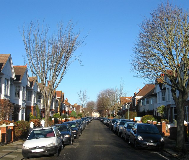
Image: © Simon Carey Taken: 22 Dec 2016
A residential road linking New Church Road, the B2066, with Portland Road that was laid out on the 1911 OS map but not completed until the 1920s.
Images are licensed for reuse under creativecommons.org/licenses/by-sa/2.0
Image Location
Latitude
50.834306
Longitude
-0.204267