Bend in New Road south of Brymbo
Introduction
The photograph on this page of Bend in New Road south of Brymbo by Jaggery as part of the Geograph project.
The Geograph project started in 2005 with the aim of publishing, organising and preserving representative images for every square kilometre of Great Britain, Ireland and the Isle of Man.

There are currently over 7.5m images from over 14,400 individuals and you can help contribute to the project by visiting https://www.geograph.org.uk
Bend in New Road south of Brymbo
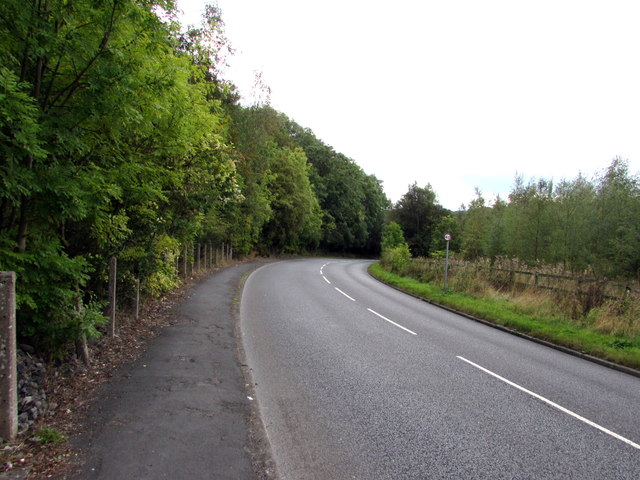
Image: © Jaggery Taken: 24 Sep 2016
A small red-edged sign on the right side of the B5101 New Road shows 40 (mph speed limit).
Images are licensed for reuse under creativecommons.org/licenses/by-sa/2.0
Image Location
Latitude
53.072957
Longitude
-3.046108