Seaford Road, Aldrington, Hove
Introduction
The photograph on this page of Seaford Road, Aldrington, Hove by Simon Carey as part of the Geograph project.
The Geograph project started in 2005 with the aim of publishing, organising and preserving representative images for every square kilometre of Great Britain, Ireland and the Isle of Man.

There are currently over 7.5m images from over 14,400 individuals and you can help contribute to the project by visiting https://www.geograph.org.uk
Seaford Road, Aldrington, Hove
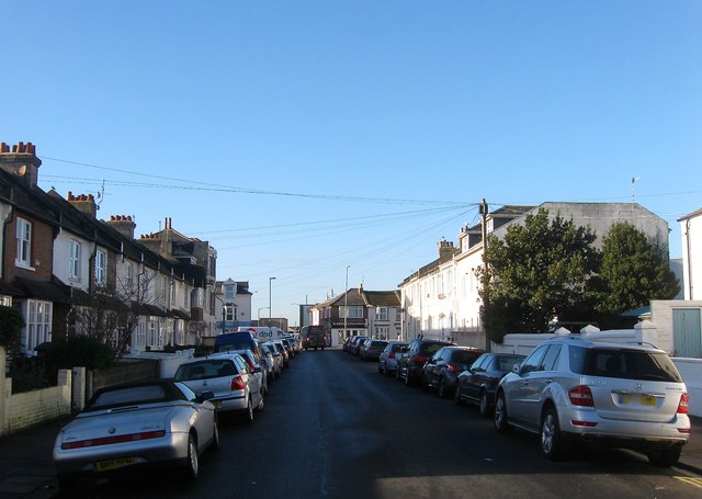
Image: © Simon Carey Taken: 22 Dec 2016
A residential road that links St Leonard's Road to Boundary Road/Station Road, the B2194. The northern side was developed in the 1890s whilst the southern side was not completed until the first decade of the 20th century.
Images are licensed for reuse under creativecommons.org/licenses/by-sa/2.0
Image Location
Latitude
50.830406
Longitude
-0.207967