West side of Llanarth Square, Risca
Introduction
The photograph on this page of West side of Llanarth Square, Risca by Jaggery as part of the Geograph project.
The Geograph project started in 2005 with the aim of publishing, organising and preserving representative images for every square kilometre of Great Britain, Ireland and the Isle of Man.

There are currently over 7.5m images from over 14,400 individuals and you can help contribute to the project by visiting https://www.geograph.org.uk
West side of Llanarth Square, Risca
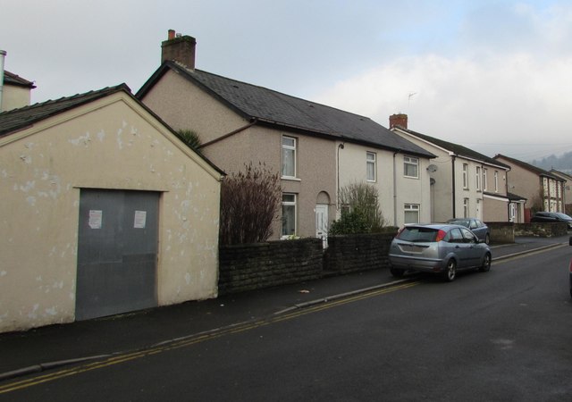
Image: © Jaggery Taken: 20 Dec 2016
Viewed from the corner of Commercial Street in December 2016. On the left, metal sheeting protects a side entrance into the derelict former Rolling Mill pub http://www.geograph.org.uk/photo/5231932 Notices on the sheeting state Warning - this property is alarmed. Do not enter without a PID key as this will result in security officers attending the site.
Images are licensed for reuse under creativecommons.org/licenses/by-sa/2.0
Image Location
Latitude
51.60383
Longitude
-3.093287