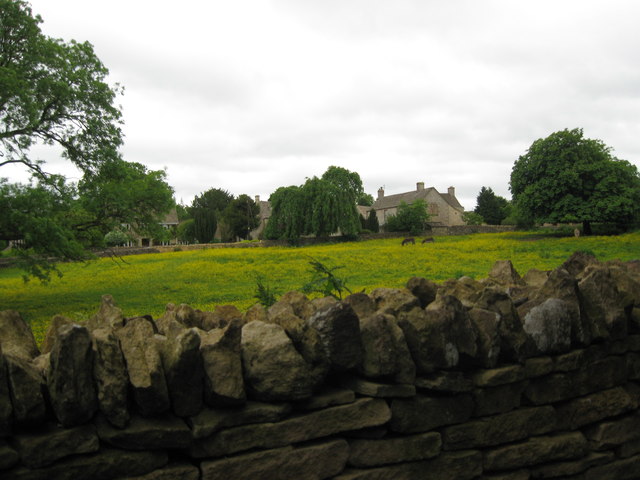
Brime's field? - Brimpsfield, Gloucestershire
Introduction
The photograph on this page of Brime's field? - Brimpsfield, Gloucestershire by Martin Richard Phelan as part of the Geograph project.
The Geograph project started in 2005 with the aim of publishing, organising and preserving representative images for every square kilometre of Great Britain, Ireland and the Isle of Man.
There are currently over 7.5m images from over 14,400 individuals and you can help contribute to the project by visiting https://www.geograph.org.uk

Image: © Martin Richard Phelan Taken: 23 Jun 2013
In William the Conqueror's actually incomplete survey of England, Domesday Book, the village of Brimpsfield appears as Brimesfelde. Brimes field? If so, could this be it? The parish church of St Michael stands apart from the present day village and adjoins the site of the Giffard family's now-vanished castle. The 12th century church was built by a member of the Giffard family and the castle was destroyed in 1322 after a family member perhaps ill-advisedly took part in a rebellion against King Edward II. The said family member met his end being executed in Gloucester. Time taken 5.01 pm BST (British Summer Time).

