School Lane, Earby
Introduction
The photograph on this page of School Lane, Earby by Chris Heaton as part of the Geograph project.
The Geograph project started in 2005 with the aim of publishing, organising and preserving representative images for every square kilometre of Great Britain, Ireland and the Isle of Man.

There are currently over 7.5m images from over 14,400 individuals and you can help contribute to the project by visiting https://www.geograph.org.uk
School Lane, Earby
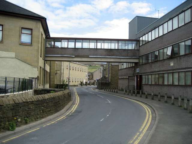
Image: © Chris Heaton Taken: 7 Aug 2007
Adopted by the Pendle Way, that passes through an area of light industry at this juncture - although to the left parts of the estate are giving way to a housing development.
Images are licensed for reuse under creativecommons.org/licenses/by-sa/2.0
Image Location
Latitude
53.918248
Longitude
-2.142778