East side of the Crown, West End, Abercarn
Introduction
The photograph on this page of East side of the Crown, West End, Abercarn by Jaggery as part of the Geograph project.
The Geograph project started in 2005 with the aim of publishing, organising and preserving representative images for every square kilometre of Great Britain, Ireland and the Isle of Man.

There are currently over 7.5m images from over 14,400 individuals and you can help contribute to the project by visiting https://www.geograph.org.uk
East side of the Crown, West End, Abercarn
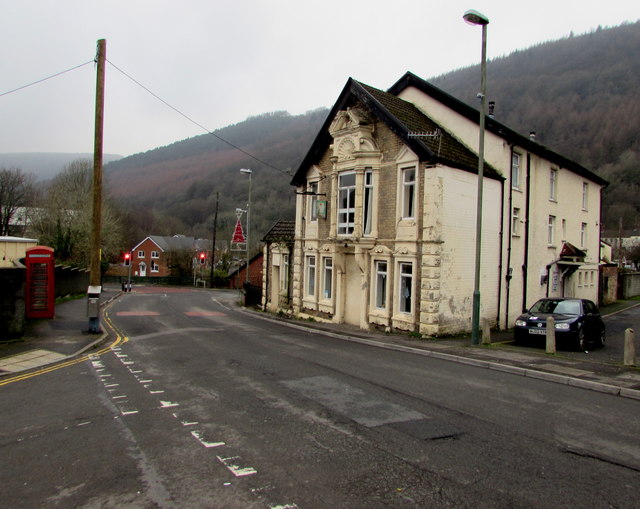
Image: © Jaggery Taken: 20 Dec 2016
Pub viewed across Bridge Street from the corner of Royal Close in the West End area of Abercarn. Old maps show that Abercarn railway station was nearby. The station closed in 1962. http://www.geograph.org.uk/photo/5230356 to another view of the pub.
Images are licensed for reuse under creativecommons.org/licenses/by-sa/2.0
Image Location
Latitude
51.650337
Longitude
-3.138492