Remains of Loughor Castle
Introduction
The photograph on this page of Remains of Loughor Castle by Jaggery as part of the Geograph project.
The Geograph project started in 2005 with the aim of publishing, organising and preserving representative images for every square kilometre of Great Britain, Ireland and the Isle of Man.

There are currently over 7.5m images from over 14,400 individuals and you can help contribute to the project by visiting https://www.geograph.org.uk
Remains of Loughor Castle
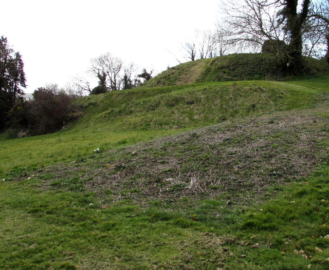
Image: © Jaggery Taken: 25 Mar 2016
The castle was built c1106 by the Anglo-Norman lord Henry de Beaumont, during the Norman invasion of Wales. The site overlooking the River Loughor controlled a strategic road and ford running across the Gower Peninsula. In 2016, the remains of Loughor Castle are controlled by the Welsh heritage agency Cadw. The ruined tower and fragments of the curtain wall are on top of the earthwork defences which resemble a motte or mound.
Images are licensed for reuse under creativecommons.org/licenses/by-sa/2.0
Image Location


Leaflet Map data © OpenStreetMap
Latitude
51.662115
Longitude
-4.077456