Station Road, Loughor
Introduction
The photograph on this page of Station Road, Loughor by Jaggery as part of the Geograph project.
The Geograph project started in 2005 with the aim of publishing, organising and preserving representative images for every square kilometre of Great Britain, Ireland and the Isle of Man.

There are currently over 7.5m images from over 14,400 individuals and you can help contribute to the project by visiting https://www.geograph.org.uk
Station Road, Loughor
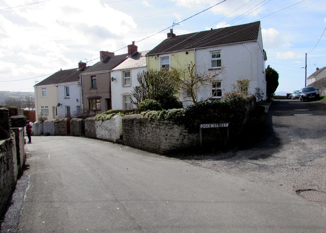
Image: © Jaggery Taken: 25 Mar 2016
Viewed past the corner of Dock Street. This used to be the way to Loughor railway station which closed in 1960.
Images are licensed for reuse under creativecommons.org/licenses/by-sa/2.0
Image Location


Leaflet Map data © OpenStreetMap
Latitude
51.661832
Longitude
-4.078166