Franked Mail postbox beside the Cheshire Midland
Introduction
The photograph on this page of Franked Mail postbox beside the Cheshire Midland by Richard Sutcliffe as part of the Geograph project.
The Geograph project started in 2005 with the aim of publishing, organising and preserving representative images for every square kilometre of Great Britain, Ireland and the Isle of Man.

There are currently over 7.5m images from over 14,400 individuals and you can help contribute to the project by visiting https://www.geograph.org.uk
Franked Mail postbox beside the Cheshire Midland
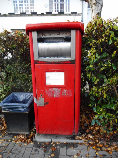
Image: © Richard Sutcliffe Taken: 18 Dec 2016
This postbox (number WA14 118) for 'Franked mail only' sits in front of the Cheshire Midland public house. Directly across the road at Hale Station is an ordinary postbox [http://www.geograph.org.uk/photo/5177969] for unfranked post.
Images are licensed for reuse under creativecommons.org/licenses/by-sa/2.0
Image Location


Leaflet Map data © OpenStreetMap
Latitude
53.379071
Longitude
-2.349013