St Patricks Road, Hove
Introduction
The photograph on this page of St Patricks Road, Hove by Simon Carey as part of the Geograph project.
The Geograph project started in 2005 with the aim of publishing, organising and preserving representative images for every square kilometre of Great Britain, Ireland and the Isle of Man.

There are currently over 7.5m images from over 14,400 individuals and you can help contribute to the project by visiting https://www.geograph.org.uk
St Patricks Road, Hove
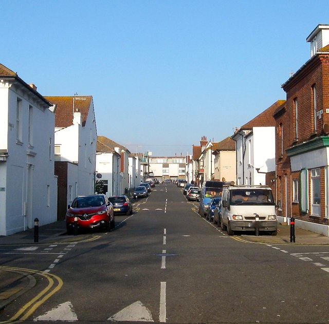
Image: © Simon Carey Taken: 17 Dec 2016
A residential street that originally linked Portland Road to Coleridge Street but has now been stopped up at the former. Built in the 1890s and located in the Poets Corner district of the city though not named after any.
Images are licensed for reuse under creativecommons.org/licenses/by-sa/2.0
Image Location
Latitude
50.833737
Longitude
-0.179152