73-119, Portland Road, Aldrington, Hove
Introduction
The photograph on this page of 73-119, Portland Road, Aldrington, Hove by Simon Carey as part of the Geograph project.
The Geograph project started in 2005 with the aim of publishing, organising and preserving representative images for every square kilometre of Great Britain, Ireland and the Isle of Man.

There are currently over 7.5m images from over 14,400 individuals and you can help contribute to the project by visiting https://www.geograph.org.uk
73-119, Portland Road, Aldrington, Hove
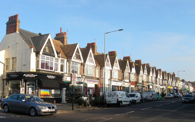
Image: © Simon Carey Taken: 17 Dec 2016
This block is located between Westbourne Street and Rutland Road and was built in the 1890s originally as housing but later converted to shops as the area grew and Portland Road became a main thoroughfare.
Images are licensed for reuse under creativecommons.org/licenses/by-sa/2.0
Image Location
Latitude
50.833071
Longitude
-0.182587