1988 Parsonage Lane Chelsworth (west end) in Autumn
Introduction
The photograph on this page of 1988 Parsonage Lane Chelsworth (west end) in Autumn by Hazel Greenfield as part of the Geograph project.
The Geograph project started in 2005 with the aim of publishing, organising and preserving representative images for every square kilometre of Great Britain, Ireland and the Isle of Man.

There are currently over 7.5m images from over 14,400 individuals and you can help contribute to the project by visiting https://www.geograph.org.uk
1988 Parsonage Lane Chelsworth (west end) in Autumn
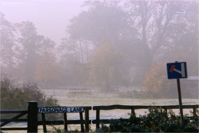
Image: © Hazel Greenfield Taken: 20 Nov 1988
Tucked in at the base of the hill leading north to Bildeston, this lane leads east to Culfens, a boggy area near the river Brett, where it is said that the Vikings built their ships. It is a popular route for walkers (often with their dogs),who sometimes continue up the path opposite the west end of lane, to Bildeston Church via the footpath.
Images are licensed for reuse under creativecommons.org/licenses/by-sa/2.0
Image Location
Latitude
52.095813
Longitude
0.89601