The Ship Inn, Newington
Introduction
The photograph on this page of The Ship Inn, Newington by Graham Hogg as part of the Geograph project.
The Geograph project started in 2005 with the aim of publishing, organising and preserving representative images for every square kilometre of Great Britain, Ireland and the Isle of Man.

There are currently over 7.5m images from over 14,400 individuals and you can help contribute to the project by visiting https://www.geograph.org.uk
The Ship Inn, Newington
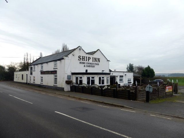
Image: © Graham Hogg Taken: 12 Dec 2016
The pub is close to the River Idle which is navigable to Bawtry and was an important river port up to the 16th century.
Images are licensed for reuse under creativecommons.org/licenses/by-sa/2.0
Image Location


Leaflet Map data © OpenStreetMap
Latitude
53.43901
Longitude
-0.99678