Bridgwater & Taunton Canal, Bridgwater
Introduction
The photograph on this page of Bridgwater & Taunton Canal, Bridgwater by Chris Allen as part of the Geograph project.
The Geograph project started in 2005 with the aim of publishing, organising and preserving representative images for every square kilometre of Great Britain, Ireland and the Isle of Man.

There are currently over 7.5m images from over 14,400 individuals and you can help contribute to the project by visiting https://www.geograph.org.uk
Bridgwater & Taunton Canal, Bridgwater
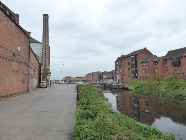
Image: © Chris Allen Taken: 14 Nov 2016
The Canal was built in 1841 and connected Taunton to the River Parrett. The lock leading into the dock is seen in the distance. The still working animal feed mill is on the left and some of the flats surrounding the dock are on the right.
Images are licensed for reuse under creativecommons.org/licenses/by-sa/2.0
Image Location
Latitude
51.132333
Longitude
-3.008223