Path down to Pantddu Fields, Aberbeeg
Introduction
The photograph on this page of Path down to Pantddu Fields, Aberbeeg by M J Roscoe as part of the Geograph project.
The Geograph project started in 2005 with the aim of publishing, organising and preserving representative images for every square kilometre of Great Britain, Ireland and the Isle of Man.

There are currently over 7.5m images from over 14,400 individuals and you can help contribute to the project by visiting https://www.geograph.org.uk
Path down to Pantddu Fields, Aberbeeg
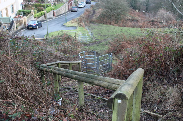
Image: © M J Roscoe Taken: 16 Dec 2016
Steep footpath down from bus stop on Pantddu Road to cul-de-sac.
Images are licensed for reuse under creativecommons.org/licenses/by-sa/2.0
Image Location
Latitude
51.706793
Longitude
-3.148882