Sheridan Terrace, Hove
Introduction
The photograph on this page of Sheridan Terrace, Hove by Simon Carey as part of the Geograph project.
The Geograph project started in 2005 with the aim of publishing, organising and preserving representative images for every square kilometre of Great Britain, Ireland and the Isle of Man.

There are currently over 7.5m images from over 14,400 individuals and you can help contribute to the project by visiting https://www.geograph.org.uk
Sheridan Terrace, Hove
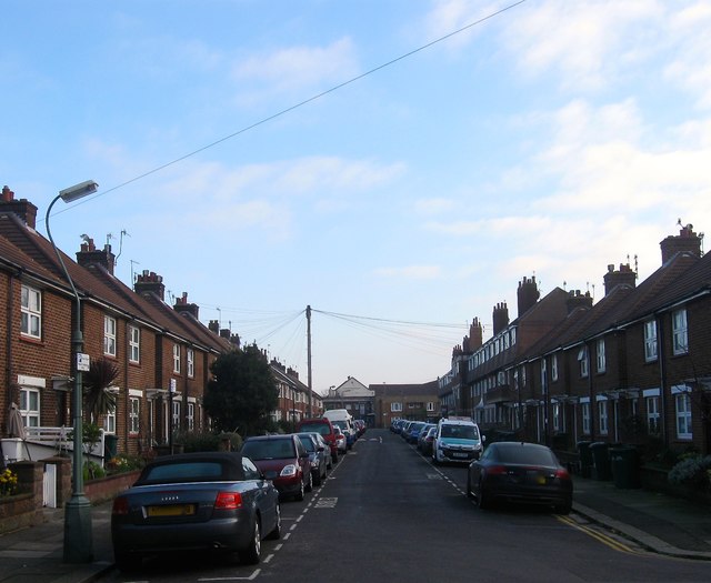
Image: © Simon Carey Taken: 17 Dec 2016
The current road runs in a loop off Coleridge Street with this section the northern segment. Named after Richard Brinsely Sheridan and part of the district known locally as Poets Corner due to the street names rather than any bohemian tendencies. Originally the eastern and western parts were constructed and known as Sheridan Place and Sheridan Street respectively with this section occupied by Salvation Army barracks until their demolition in the mid 1930s and replaced with these houses and flats before World War Two renaming the street in the process.
Images are licensed for reuse under creativecommons.org/licenses/by-sa/2.0
Image Location
Latitude
50.835798
Longitude
-0.178646