Folly Road bus stops and shelters, Trevethin
Introduction
The photograph on this page of Folly Road bus stops and shelters, Trevethin by Jaggery as part of the Geograph project.
The Geograph project started in 2005 with the aim of publishing, organising and preserving representative images for every square kilometre of Great Britain, Ireland and the Isle of Man.

There are currently over 7.5m images from over 14,400 individuals and you can help contribute to the project by visiting https://www.geograph.org.uk
Folly Road bus stops and shelters, Trevethin
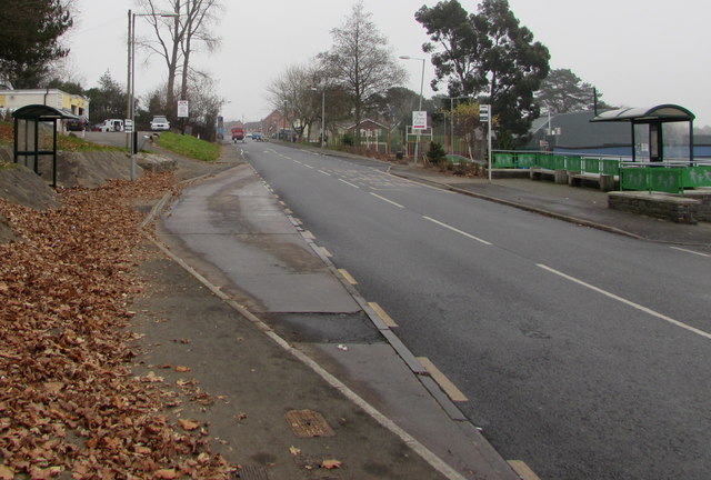
Image: © Jaggery Taken: 5 Dec 2016
Near the western end of Folly Road. The route east along Folly Road ahead leads to this http://www.geograph.org.uk/photo/3419691 Folly Tower on high ground about 1km away.
Images are licensed for reuse under creativecommons.org/licenses/by-sa/2.0
Image Location
Latitude
51.713388
Longitude
-3.039333