Telecoms cabinet on a Trevethin corner
Introduction
The photograph on this page of Telecoms cabinet on a Trevethin corner by Jaggery as part of the Geograph project.
The Geograph project started in 2005 with the aim of publishing, organising and preserving representative images for every square kilometre of Great Britain, Ireland and the Isle of Man.

There are currently over 7.5m images from over 14,400 individuals and you can help contribute to the project by visiting https://www.geograph.org.uk
Telecoms cabinet on a Trevethin corner
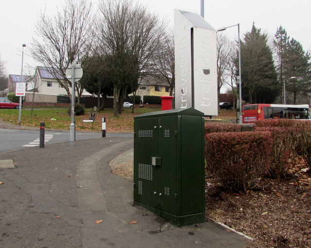
Image: © Jaggery Taken: 5 Dec 2016
Viewed from Church Avenue. What appears to be a small red funnel on top of the cabinet is a pillarbox http://www.geograph.org.uk/photo/5218598 several metres behind the cabinet, on the Folly Road side of the corner.
Images are licensed for reuse under creativecommons.org/licenses/by-sa/2.0
Image Location
Latitude
51.713204
Longitude
-3.039763