High Street bus stop and shelter near Crosskeys railway station
Introduction
The photograph on this page of High Street bus stop and shelter near Crosskeys railway station by Jaggery as part of the Geograph project.
The Geograph project started in 2005 with the aim of publishing, organising and preserving representative images for every square kilometre of Great Britain, Ireland and the Isle of Man.

There are currently over 7.5m images from over 14,400 individuals and you can help contribute to the project by visiting https://www.geograph.org.uk
High Street bus stop and shelter near Crosskeys railway station
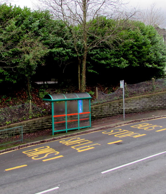
Image: © Jaggery Taken: 17 Dec 2016
This side of the road for buses towards Blackwood and Ebbw Vale.
Images are licensed for reuse under creativecommons.org/licenses/by-sa/2.0
Image Location
Latitude
51.621585
Longitude
-3.126938