
Lane to Ash
Introduction
The photograph on this page of Lane to Ash by Derek Harper as part of the Geograph project.
The Geograph project started in 2005 with the aim of publishing, organising and preserving representative images for every square kilometre of Great Britain, Ireland and the Isle of Man.

There are currently over 7.5m images from over 14,400 individuals and you can help contribute to the project by visiting https://www.geograph.org.uk
Lane to Ash
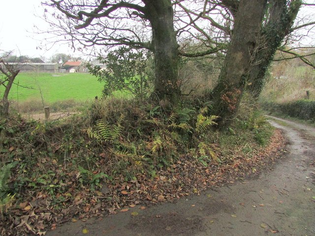
Image: © Derek Harper Taken: 16 Dec 2016
A glimpse of Lower Ash Farm on the left, seen from a bend in a lane from Bowden. Somewhere in there is the listed farmhouse https://www.historicengland.org.uk/listing/the-list/list-entry/1325161 . My map showed this lane in yellow; having negotiated it by car in some trepidation, I'm not surprised to see that current maps show it as white; it's badly potholed near Ash and from here southwards has a disconcertingly prominent grass ridge down the middle. It's obviously being abandoned by Devon.
Images are licensed for reuse under creativecommons.org/licenses/by-sa/2.0
Image Location

Latitude
50.335016
Longitude
-3.633824