Knockroon
Introduction
The photograph on this page of Knockroon by Richard Webb as part of the Geograph project.
The Geograph project started in 2005 with the aim of publishing, organising and preserving representative images for every square kilometre of Great Britain, Ireland and the Isle of Man.

There are currently over 7.5m images from over 14,400 individuals and you can help contribute to the project by visiting https://www.geograph.org.uk
Knockroon
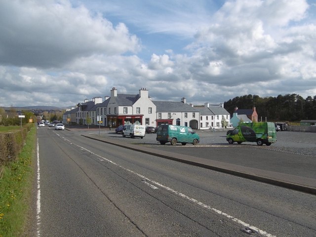
Image: © Richard Webb Taken: 5 May 2016
Supposedly a Scottish Poundbury, there are now 31 completed dwellings in what was supposed to be a 700 house development.
Images are licensed for reuse under creativecommons.org/licenses/by-sa/2.0
Image Location
Latitude
55.459854
Longitude
-4.280507