Mill lade, Selkirk
Introduction
The photograph on this page of Mill lade, Selkirk by Jim Barton as part of the Geograph project.
The Geograph project started in 2005 with the aim of publishing, organising and preserving representative images for every square kilometre of Great Britain, Ireland and the Isle of Man.

There are currently over 7.5m images from over 14,400 individuals and you can help contribute to the project by visiting https://www.geograph.org.uk
Mill lade, Selkirk
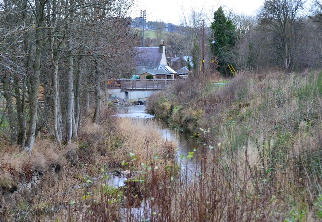
Image: © Jim Barton Taken: 11 Dec 2016
The lade carries water from Murray's Cauld, Philiphaugh, where the large waterwheel powered a sawmill and threshing mill, and discharges to the Ettrick Water near the road bridge. In the centre is the footbridge that was renewed as part of the flood protection works.
Images are licensed for reuse under creativecommons.org/licenses/by-sa/2.0
Image Location
Latitude
55.544492
Longitude
-2.859239