Cardiff Industrial Park map and nameboard
Introduction
The photograph on this page of Cardiff Industrial Park map and nameboard by Jaggery as part of the Geograph project.
The Geograph project started in 2005 with the aim of publishing, organising and preserving representative images for every square kilometre of Great Britain, Ireland and the Isle of Man.

There are currently over 7.5m images from over 14,400 individuals and you can help contribute to the project by visiting https://www.geograph.org.uk
Cardiff Industrial Park map and nameboard
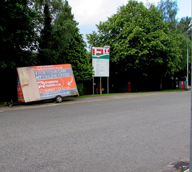
Image: © Jaggery Taken: 21 Jun 2016
Located on the south side of the road named Parc Ty Glas, behind a Trade My Motor mobile advertising board. The board lists the occupiers of Units 6A to 12F. In June 2016, the occupiers include Royal Mail, Screwfix and Howdens Joinery.
Images are licensed for reuse under creativecommons.org/licenses/by-sa/2.0
Image Location
Latitude
51.522819
Longitude
-3.194261