West end of Forfar from Balmashanner Hill
Introduction
The photograph on this page of West end of Forfar from Balmashanner Hill by Scott Cormie as part of the Geograph project.
The Geograph project started in 2005 with the aim of publishing, organising and preserving representative images for every square kilometre of Great Britain, Ireland and the Isle of Man.

There are currently over 7.5m images from over 14,400 individuals and you can help contribute to the project by visiting https://www.geograph.org.uk
West end of Forfar from Balmashanner Hill
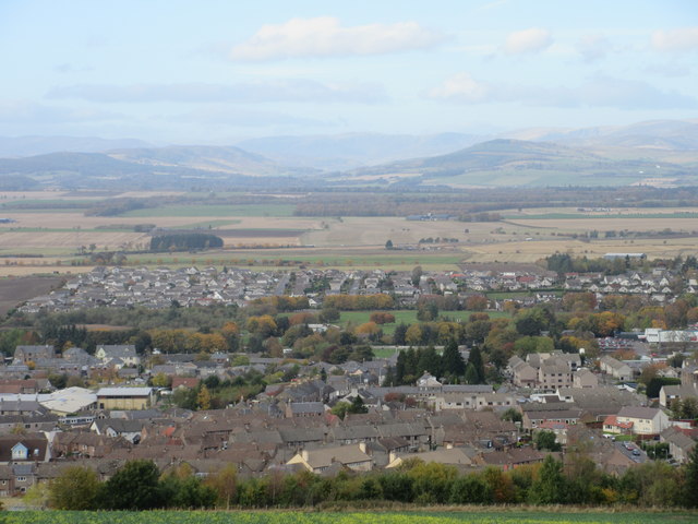
Image: © Scott Cormie Taken: 28 Oct 2016
Looking down on the western side of Forfar with Strathmore and the Angus Glens beyond.
Images are licensed for reuse under creativecommons.org/licenses/by-sa/2.0
Image Location
Latitude
56.63847
Longitude
-2.892351