Park Avenue, Aldrington, Hove
Introduction
The photograph on this page of Park Avenue, Aldrington, Hove by Simon Carey as part of the Geograph project.
The Geograph project started in 2005 with the aim of publishing, organising and preserving representative images for every square kilometre of Great Britain, Ireland and the Isle of Man.

There are currently over 7.5m images from over 14,400 individuals and you can help contribute to the project by visiting https://www.geograph.org.uk
Park Avenue, Aldrington, Hove
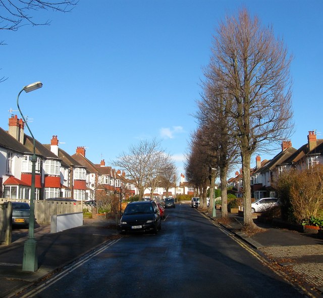
Image: © Simon Carey Taken: 14 Dec 2016
A residential road that links New Church Road, the B2066, to Amesbury Crescent. Originally part of a field called West Laine according to Aldrington's 1840 tithe map by the 1880s it had become Wish Brick Field which supplied much of the building material for the developing suburb. As a consequence it was one of the last areas to be developed with the houses built in the mid 1930s.
Images are licensed for reuse under creativecommons.org/licenses/by-sa/2.0
Image Location
Latitude
50.832053
Longitude
-0.192283