Glendor Road, Aldrington, Hove
Introduction
The photograph on this page of Glendor Road, Aldrington, Hove by Simon Carey as part of the Geograph project.
The Geograph project started in 2005 with the aim of publishing, organising and preserving representative images for every square kilometre of Great Britain, Ireland and the Isle of Man.

There are currently over 7.5m images from over 14,400 individuals and you can help contribute to the project by visiting https://www.geograph.org.uk
Glendor Road, Aldrington, Hove
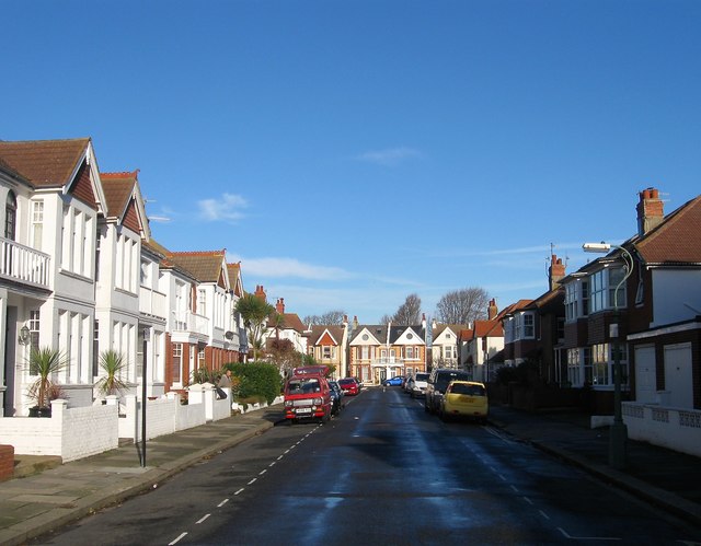
Image: © Simon Carey Taken: 14 Dec 2016
A residential road that links Kingsway, the A259, with Marine Avenue. The western side was partially completed by 1911 with the remaining plots towards Marine Avenue along with the whole eastern side completed by the 1920s.
Images are licensed for reuse under creativecommons.org/licenses/by-sa/2.0
Image Location
Latitude
50.828506
Longitude
-0.195544