House and barns, Tormarton
Introduction
The photograph on this page of House and barns, Tormarton by Derek Harper as part of the Geograph project.
The Geograph project started in 2005 with the aim of publishing, organising and preserving representative images for every square kilometre of Great Britain, Ireland and the Isle of Man.

There are currently over 7.5m images from over 14,400 individuals and you can help contribute to the project by visiting https://www.geograph.org.uk
House and barns, Tormarton
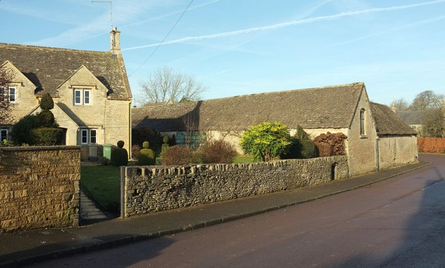
Image: © Derek Harper Taken: 14 Dec 2016
On the left is a listed house https://www.historicengland.org.uk/listing/the-list/list-entry/1214152 . The view is across Marshfield Road, here followed by the Cotswold Way.
Images are licensed for reuse under creativecommons.org/licenses/by-sa/2.0
Image Location
Latitude
51.50595
Longitude
-2.332489