The edge of the Green Belt
Introduction
The photograph on this page of The edge of the Green Belt by Marathon as part of the Geograph project.
The Geograph project started in 2005 with the aim of publishing, organising and preserving representative images for every square kilometre of Great Britain, Ireland and the Isle of Man.

There are currently over 7.5m images from over 14,400 individuals and you can help contribute to the project by visiting https://www.geograph.org.uk
The edge of the Green Belt
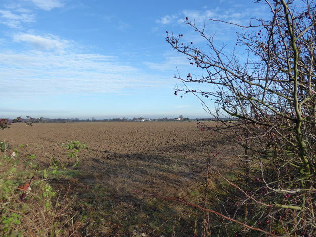
Image: © Marathon Taken: 14 Dec 2016
Just to the west of this field is the Abbey Wood Estate. It is surprising how quickly one is out into open country although no doubt if it was not for the Green Belt these fields would have been built on by now.
Images are licensed for reuse under creativecommons.org/licenses/by-sa/2.0
Image Location
Latitude
51.523971
Longitude
0.221183