High Street view - Tutbury, Staffordshire
Introduction
The photograph on this page of High Street view - Tutbury, Staffordshire by Martin Richard Phelan as part of the Geograph project.
The Geograph project started in 2005 with the aim of publishing, organising and preserving representative images for every square kilometre of Great Britain, Ireland and the Isle of Man.

There are currently over 7.5m images from over 14,400 individuals and you can help contribute to the project by visiting https://www.geograph.org.uk
High Street view - Tutbury, Staffordshire
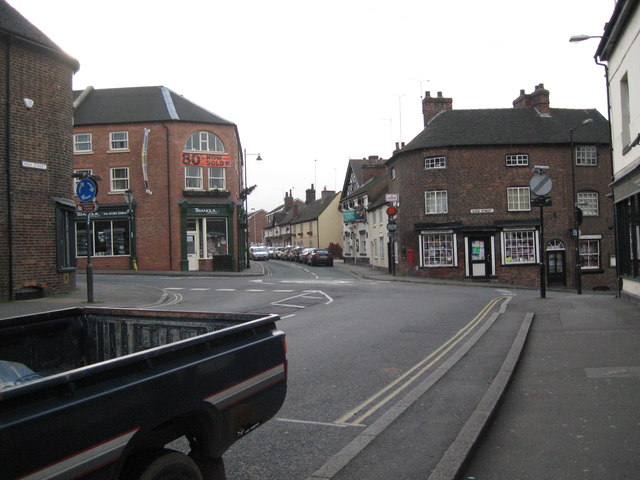
Image: © Martin Richard Phelan Taken: 4 Dec 2011
A view south-south-west along the High Street to the roundabout at the junction of Burton Street, Ludgate Street and Duke Street. Tutbury is a town of ancient origins and has much of architectural and historical interest. Time taken 11.56 am GMT (Greenwich Mean Time).
Images are licensed for reuse under creativecommons.org/licenses/by-sa/2.0
Image Location
Latitude
52.856863
Longitude
-1.686387