Waterworks Cottage
Introduction
The photograph on this page of Waterworks Cottage by N Chadwick as part of the Geograph project.
The Geograph project started in 2005 with the aim of publishing, organising and preserving representative images for every square kilometre of Great Britain, Ireland and the Isle of Man.

There are currently over 7.5m images from over 14,400 individuals and you can help contribute to the project by visiting https://www.geograph.org.uk
Waterworks Cottage
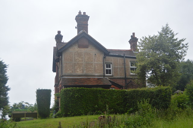
Image: © N Chadwick Taken: 1 Jul 2016
This house was originally known as The Chief Engineers House, belonging to Tun.Wells Borough Council. Built around 1865 as part of the adjacent Waterworks premises. More recently it has been known as Waterworks Cottage & is now privately owned.
Images are licensed for reuse under creativecommons.org/licenses/by-sa/2.0
Image Location
Latitude
51.158077
Longitude
0.325556