The former Gospel Oak pub
Introduction
The photograph on this page of The former Gospel Oak pub by Richard Law as part of the Geograph project.
The Geograph project started in 2005 with the aim of publishing, organising and preserving representative images for every square kilometre of Great Britain, Ireland and the Isle of Man.

There are currently over 7.5m images from over 14,400 individuals and you can help contribute to the project by visiting https://www.geograph.org.uk
The former Gospel Oak pub
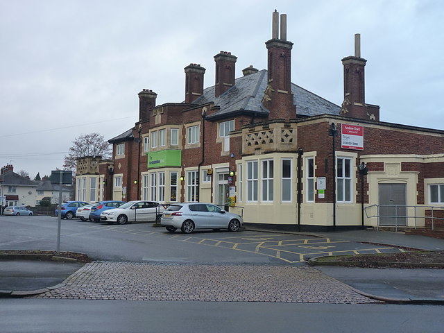
Image: © Richard Law Taken: 13 Dec 2016
Straddling the line between SP1181 and SP1281, this was the Image until fairly recently. It dates from the 1930s, but closed in about 2008/2009 and has now been 're-purposed' as a Co-op supermarket.
Images are licensed for reuse under creativecommons.org/licenses/by-sa/2.0
Image Location
Latitude
52.429642
Longitude
-1.824792