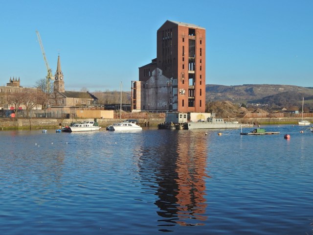
View across the River Leven
Introduction
The photograph on this page of View across the River Leven by Lairich Rig as part of the Geograph project.
The Geograph project started in 2005 with the aim of publishing, organising and preserving representative images for every square kilometre of Great Britain, Ireland and the Isle of Man.
There are currently over 7.5m images from over 14,400 individuals and you can help contribute to the project by visiting https://www.geograph.org.uk

Image: © Lairich Rig Taken: 4 Dec 2016
I have used the location of the large brick tower, Image, as subject. In the seven years since that earlier picture was taken, a few differences are visible. Vegetation has begun to overgrow the mounds to the right of the tower, a visual reminder that a housing development that was originally planned for that area stalled. Seven years on, the brick tower is set to be demolished, and development of the area in which it stands is to resume. In fact, about seven weeks after the present picture was taken, demolition was already under way: Image / Image On the left, in the present view, a crane can be seen, almost behind the spire of Image The crane is in fact behind the facade of Image, the top of whose tower can be seen at the far left; see Image

