Clydeview
Introduction
The photograph on this page of Clydeview by Lairich Rig as part of the Geograph project.
The Geograph project started in 2005 with the aim of publishing, organising and preserving representative images for every square kilometre of Great Britain, Ireland and the Isle of Man.

There are currently over 7.5m images from over 14,400 individuals and you can help contribute to the project by visiting https://www.geograph.org.uk
Clydeview
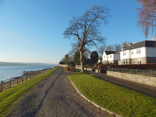
Image: © Lairich Rig Taken: 4 Dec 2016
A short row of houses here is called Clydeview. The picture was taken from near the south-western entrance of Levengrove Park (compare Image). For views in the opposite direction, see Image and Image
Images are licensed for reuse under creativecommons.org/licenses/by-sa/2.0
Image Location
Latitude
55.938238
Longitude
-4.578214