Behind the former High Church
Introduction
The photograph on this page of Behind the former High Church by Lairich Rig as part of the Geograph project.
The Geograph project started in 2005 with the aim of publishing, organising and preserving representative images for every square kilometre of Great Britain, Ireland and the Isle of Man.

There are currently over 7.5m images from over 14,400 individuals and you can help contribute to the project by visiting https://www.geograph.org.uk
Behind the former High Church
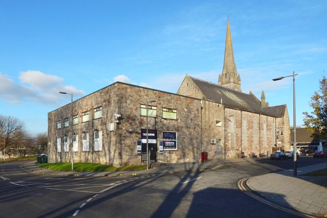
Image: © Lairich Rig Taken: 4 Dec 2016
The front of the church is shown in Image In the present view, across Riverside Lane, a modern building occupies what was once the site of the church halls.
Images are licensed for reuse under creativecommons.org/licenses/by-sa/2.0
Image Location
Latitude
55.943731
Longitude
-4.573454