Drybrook Road towards the centre of Drybrook
Introduction
The photograph on this page of Drybrook Road towards the centre of Drybrook by Jaggery as part of the Geograph project.
The Geograph project started in 2005 with the aim of publishing, organising and preserving representative images for every square kilometre of Great Britain, Ireland and the Isle of Man.

There are currently over 7.5m images from over 14,400 individuals and you can help contribute to the project by visiting https://www.geograph.org.uk
Drybrook Road towards the centre of Drybrook
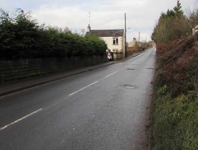
Image: © Jaggery Taken: 11 Dec 2016
Drybrook Road extends for a kilometre, from Morse Road (220 metres behind the camera) to The Cross, crossroads in the centre of Drybrook.
Images are licensed for reuse under creativecommons.org/licenses/by-sa/2.0
Image Location


Leaflet Map data © OpenStreetMap
Latitude
51.849016
Longitude
-2.517352