Carsebank
Introduction
The photograph on this page of Carsebank by Anne Burgess as part of the Geograph project.
The Geograph project started in 2005 with the aim of publishing, organising and preserving representative images for every square kilometre of Great Britain, Ireland and the Isle of Man.

There are currently over 7.5m images from over 14,400 individuals and you can help contribute to the project by visiting https://www.geograph.org.uk
Carsebank
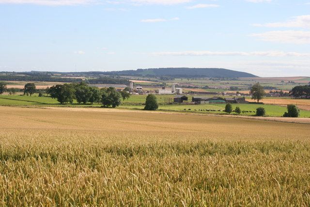
Image: © Anne Burgess Taken: 8 Aug 2007
Wheat fields at Carsebank, and in the middle distance is Laird's plant at Lunanhead, which produces all manner of concrete products. Fothringham Hill is on the skyline.
Images are licensed for reuse under creativecommons.org/licenses/by-sa/2.0
Image Location


Leaflet Map data © OpenStreetMap
Latitude
56.666981
Longitude
-2.858516