Terraced houses by B6479 north of Langcliffe
Introduction
The photograph on this page of Terraced houses by B6479 north of Langcliffe by David Smith as part of the Geograph project.
The Geograph project started in 2005 with the aim of publishing, organising and preserving representative images for every square kilometre of Great Britain, Ireland and the Isle of Man.

There are currently over 7.5m images from over 14,400 individuals and you can help contribute to the project by visiting https://www.geograph.org.uk
Terraced houses by B6479 north of Langcliffe
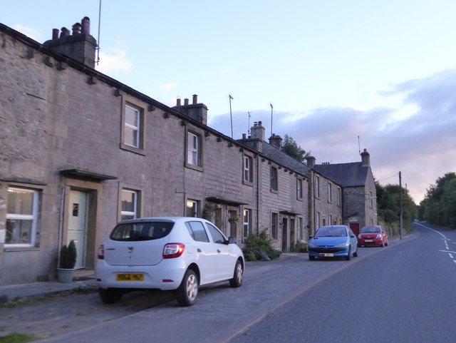
Image: © David Smith Taken: 6 Oct 2016
This terrace lies between the village and the mill
Images are licensed for reuse under creativecommons.org/licenses/by-sa/2.0
Image Location
Latitude
54.087708
Longitude
-2.273608