Carsebank
Introduction
The photograph on this page of Carsebank by Anne Burgess as part of the Geograph project.
The Geograph project started in 2005 with the aim of publishing, organising and preserving representative images for every square kilometre of Great Britain, Ireland and the Isle of Man.

There are currently over 7.5m images from over 14,400 individuals and you can help contribute to the project by visiting https://www.geograph.org.uk
Carsebank
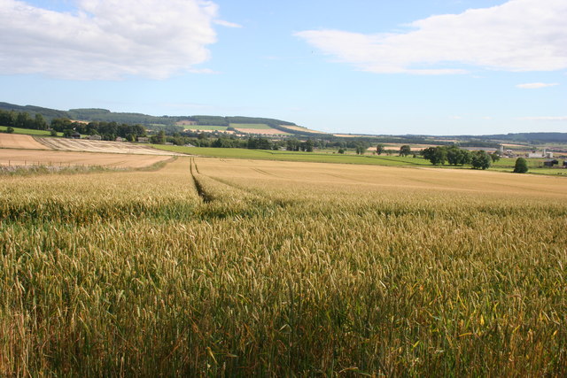
Image: © Anne Burgess Taken: 8 Aug 2007
Wheat at varying stages of ripening at Carsebank. Dunnichen Hill in the distance.
Images are licensed for reuse under creativecommons.org/licenses/by-sa/2.0
Image Location
Latitude
56.667651
Longitude
-2.852494