Cronberry
Introduction
The photograph on this page of Cronberry by Richard Webb as part of the Geograph project.
The Geograph project started in 2005 with the aim of publishing, organising and preserving representative images for every square kilometre of Great Britain, Ireland and the Isle of Man.

There are currently over 7.5m images from over 14,400 individuals and you can help contribute to the project by visiting https://www.geograph.org.uk
Cronberry
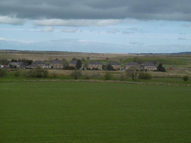
Image: © Richard Webb Taken: 5 May 2016
Site of a mining village which once had a population of 600. Between the remaining houses and the A70 is the site of a railway junction on the Muirkirk Branch of the Glasgow and South Western Railway. The freight line down to Auchinleck closed in 1976.
Images are licensed for reuse under creativecommons.org/licenses/by-sa/2.0
Image Location
Latitude
55.477141
Longitude
-4.210294